DETAILS
Creating a centralized digital framework for a high-volume federal facility
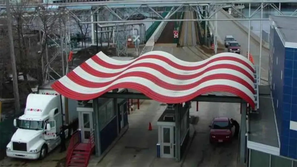
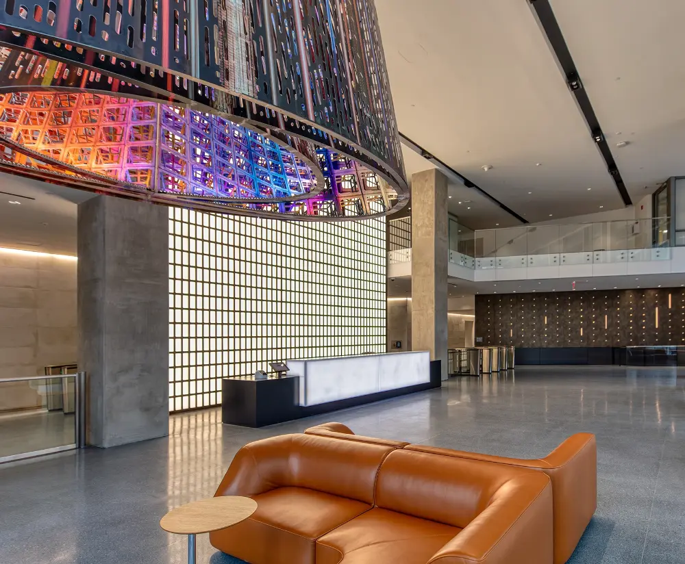
As part of the Jacobs Construction Manager as Agent (CMa) team, Procon supported GSA during the design and construction phases of a major expansion at the San Ysidro Land Port of Entry. The project required organizing and validating complex building and infrastructure information across a large, active border facility.
Procon consolidated BIM models, COBie datasets, drone photogrammetry, and legacy drawings into a centralized GIS platform (ESRI ArcGIS), creating an accessible digital representation of the entire 225,000-square-foot site.
By integrating asset inventories, construction documentation, and spatial data into a single system, Procon improved visibility, strengthened coordination, and supported long-term maintenance and operational planning for this critical federal asset.
OUR ROLE
Data Integration & GIS Platform Development
Procon organized, validated, and digitized building and infrastructure data into a unified ArcGIS platform, enabling desktop and mobile access to accurate asset information across the site.
BIM & Asset Data Validation
Our team reviewed design and construction models to verify asset accuracy, maintenance data, and completeness—identifying missing or inconsistent information and aligning datasets with operational requirements.
Reality Capture & Digital Documentation
Procon deployed drone photogrammetry and point cloud capture to generate high-resolution aerial imagery and detailed 3D models, establishing a precise digital record of the facility’s existing conditions.